The city of Boulder has more trees than most, but tree planting efforts could benefit three key neighborhoods
2020 Trends | Urban Land Cover
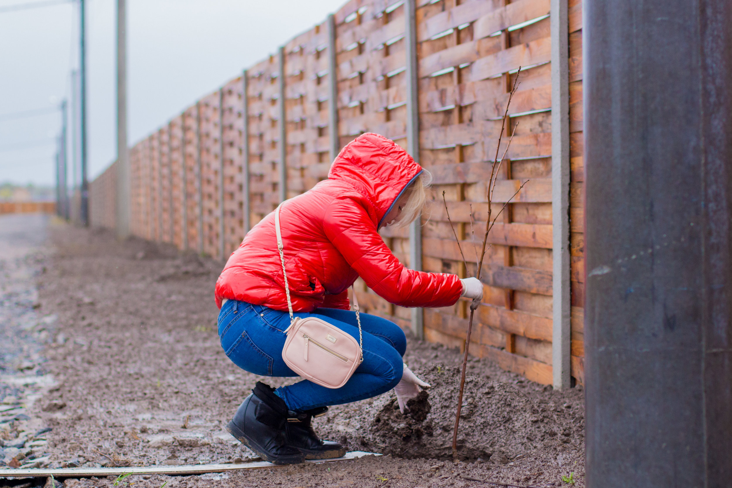
Researchers have well established the benefits of trees in urban neighborhoods. But trees and their benefits are often unevenly distributed in cities, raising environmental justice concerns. Urban tree inventories can help prioritize neighborhoods for tree planting efforts. Here we zoom into three Boulder neighborhoods with low urban tree cover to identify possible areas for tree planting efforts.
Researchers have well established the benefits of trees in urban neighborhoods. Trees remove air pollutants, moderate high air temperatures, lower energy bills, raise property values, and correlate with better health outcomes. But trees and their benefits are often unevenly distributed across neighborhoods, raising environmental justice issues.
A 2015 study in PLOS ONE found that in cities across the United States, urban neighborhoods with higher socioeconomic status had greater tree canopy cover. As the authors of the study wrote, “Money may not grow on trees, but in a way, trees grow on money.”
Research has also shown that African Americans, Hispanics, and Latinos are more likely than whites to live in neighborhoods highly vulnerable to the urban heat-island effect—which is related to urban tree cover, since shady trees can mitigate it.
Recently, Denver has received praise for its efforts to correct disparities in urban tree cover. Part of the plan is to purchase land for new parks and plant trees in areas where shade is sparse. The city has set a goal to reach 20% urban forest cover by 2050.
Boulder conducts tree inventories that give the city a better understanding of which neighborhoods are deficient in tree canopy cover. Although tree cover is high throughout Boulder County, there are several neighborhoods under the 20% threshold, with three neighborhoods below even 10% tree canopy cover: Gunbarrel, East Boulder, and Crossroads.
Here we zoom into these three neighborhoods to identify possible areas for tree planting. The figures below compare tree cover with the percentage of land covered by impervious surfaces (e.g. concrete).
“Trees are a lifesaving device in cities, especially in a warming climate. It’s a moral imperative that every neighborhood has them.”
Jad Daley, president of American Forests
quoted in the New York Times
explore the data
Tree cover in the city of Boulder and neighborhoods where restoration would make an impact

Figure 1. Tree canopy cover and impervious surfaces across the city of Boulder. The map on the left shows all tree cover in the city of Boulder. Image was collected through LiDAR and aerial images in 2013 by GIS Analysts at the city of Boulder Parks and Recreation Department. The map on the right shows impervious surfaces in the city of Boulder, including buildings, structures, concrete, or paved surfaces. Red circles represent target areas for reforestation for the three neighborhoods below the 10% forest cover threshold. Source: Data provided by the City of Boulder Open Data Catalog. Impervious Areas data available at: https://bouldercolorado.gov/open-data/impervious-areas/.
Three neighborhoods in the city of Boulder fall below the threshold of 10% forest cover

Table 1. Percent forest cover and percent of area covered by impervious surfaces across neighborhoods. Light gray boxes represent neighborhoods below a 10% forest cover threshold. Forest cover data is sourced from LiDAR and aerial images collected in 2013 by GIS Analysts at the city of Boulder Parks and Recreation Department. Data provided by the City of Boulder Open Data Catalog. Impervious Areas data available at: https://bouldercolorado.gov/open-data/impervious-areas/.
recommendations
Looking beyond tree restoration, other restoration projects for urban areas

A before and after representation of a Green Alley Program project underway in Detroit. Source: https://www.patronicity.com/project/greenalley#!
One example of a successful program that could be modeled for Boulder is an urban restoration project for Chicago’s alleyways called the Green Alley Program. Because it is difficult to plant trees near impervious surfaces due to more limited growth conditions (such as ambient heat and limited light), it is important to rethink the types of restoration projects that could work for these areas.
For this program, the city of Chicago breaks up old concrete foundations and plans out greenspaces that include allocated plots for plant beds. The introduction of plants in these areas contribute to ambient cooling in these previously concrete-locked alleyways. The area is repaved with lighter materials to reflect the light, installed with more efficient filtration systems to tackle water runoff, and repopulated with native grasses, bushes, and flowers that reduce the urban heat island effect. This project has been widely successful and has spread to other major cities including Los Angeles, Baltimore, and Detroit.
Planting native and drought-tolerant plants around Boulder’s commercial and residential developments can increase the resilience of our urban landscapes in the face of increasing climate variability. Learn more about the city of Boulder’s urban forestry program, which involves maintaining urban tree cover and encouraging involvement in community-based improvement projects. With community involvement, these restoration projects can raise neighborhood aesthetics, balance the inequity in local green spaces, support wildlife, and reduce the need for costly replacements come drought season or during extreme temperature shifts. For more information on the ‘Revegetation’ toolkit issued by Boulder County, click here.